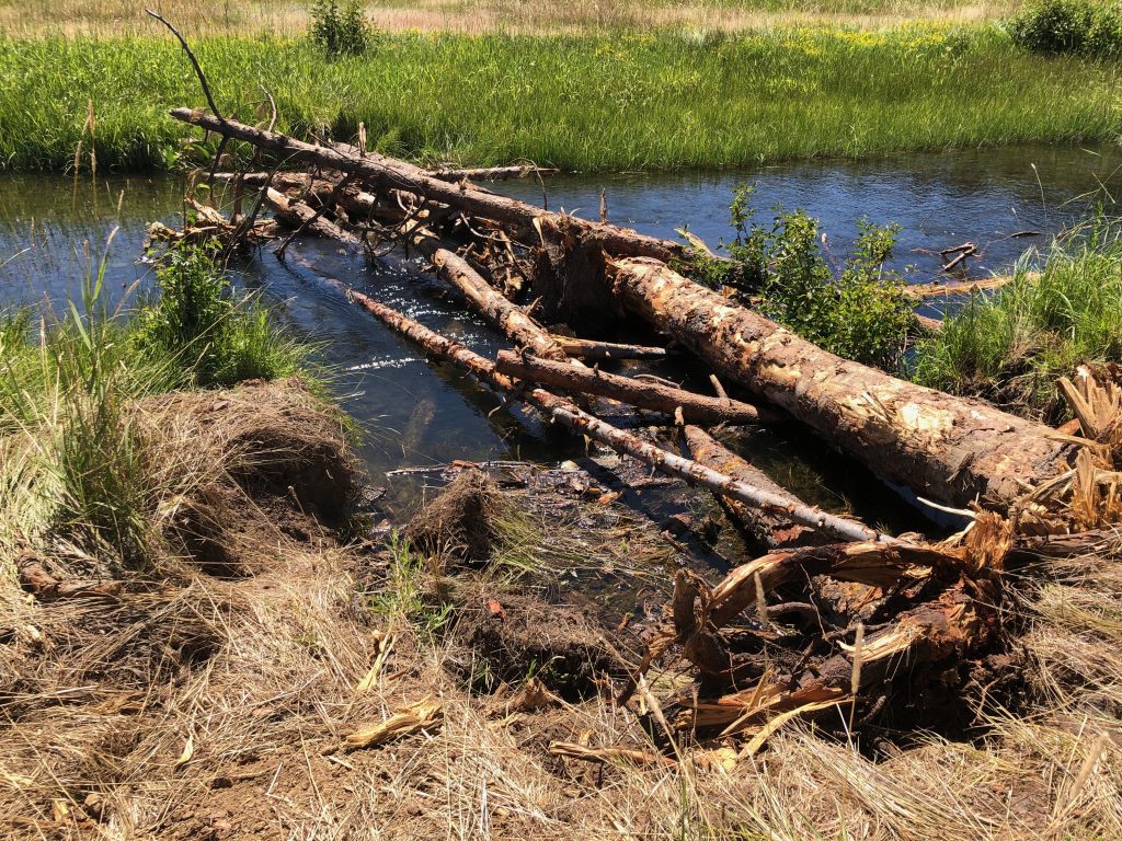
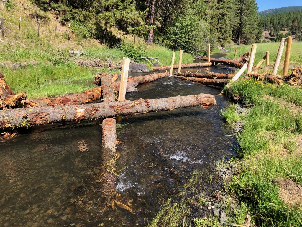
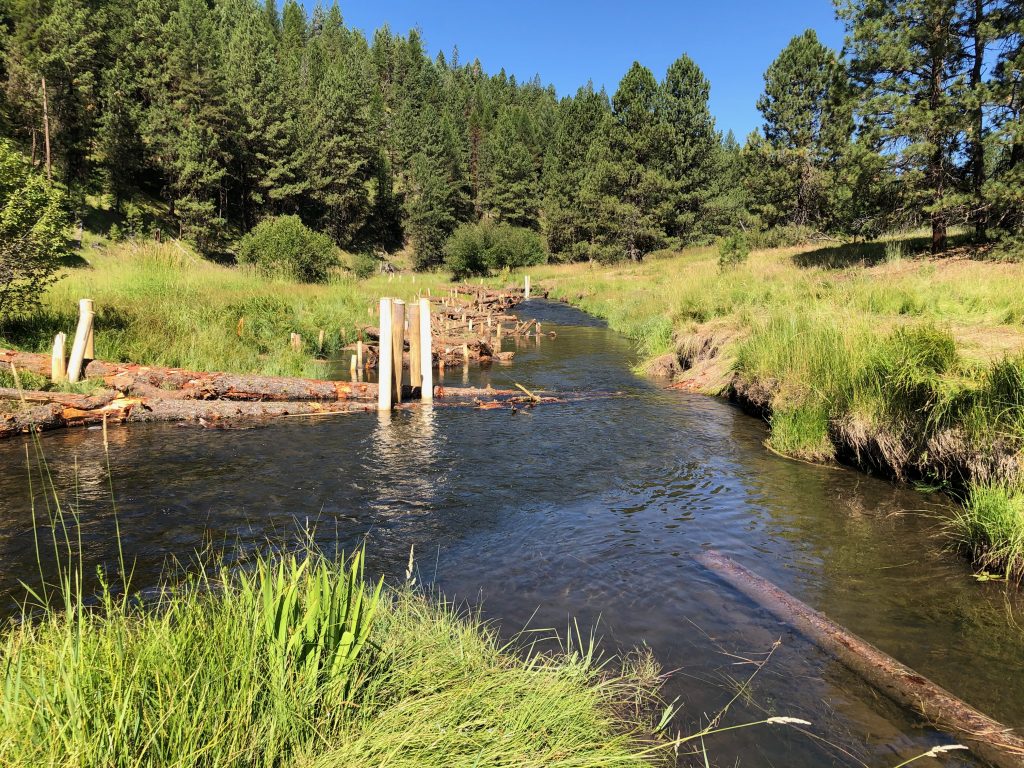
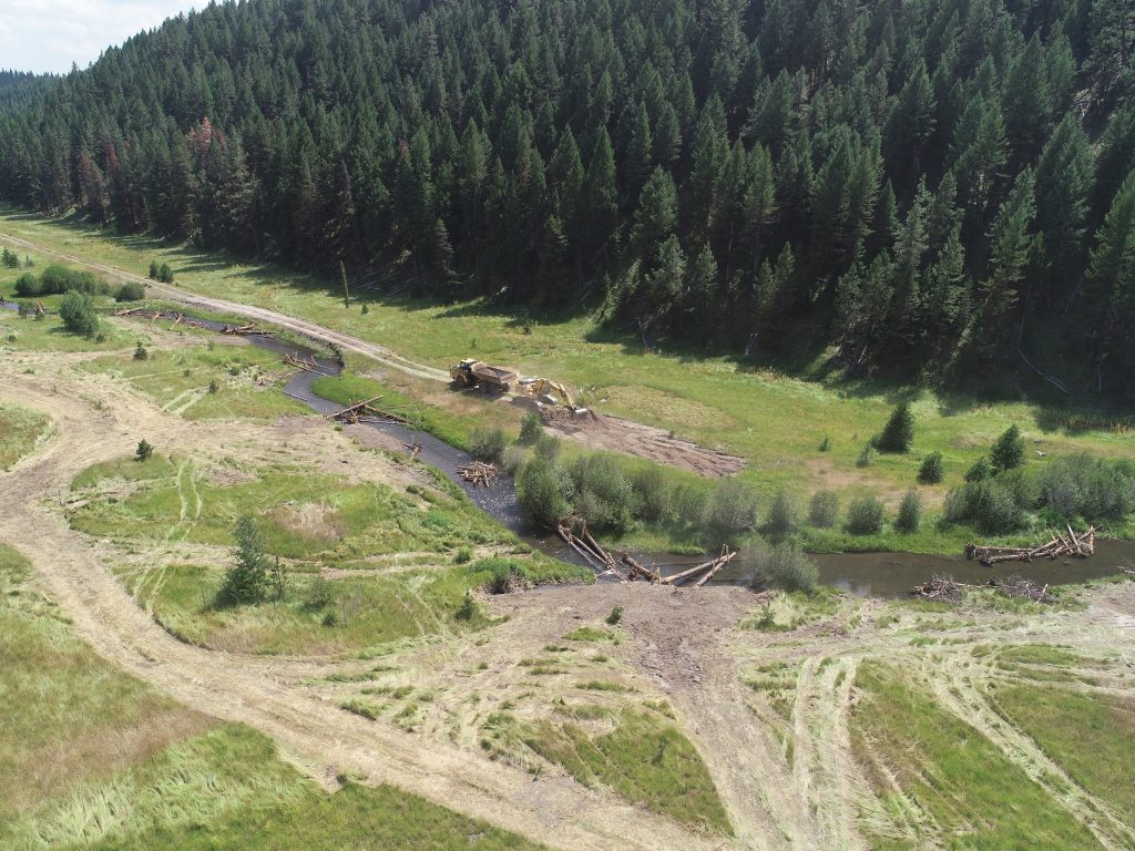
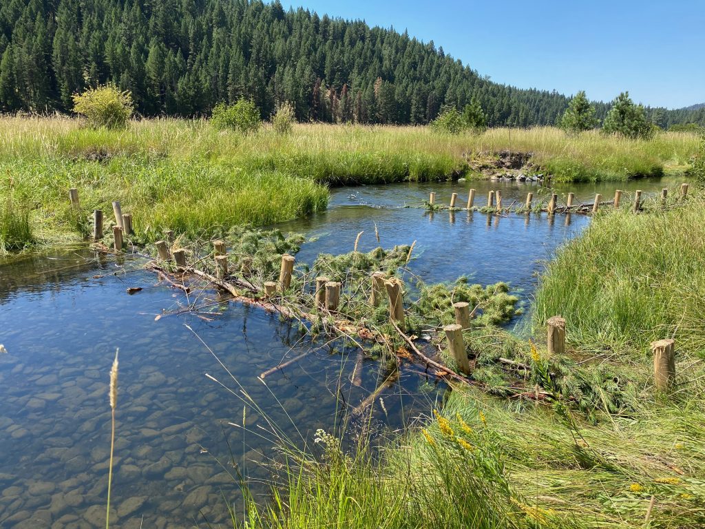
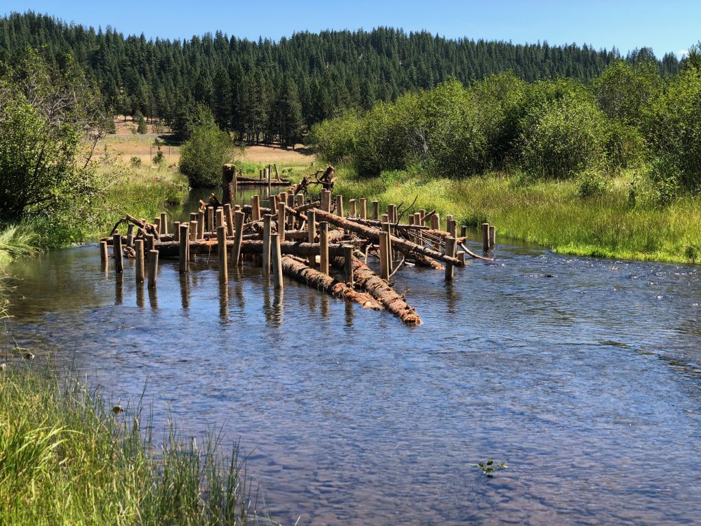
July saw a lot of activity at the Forrest Conservation Area on the Middle Fork John Day River. The second phase of the “Vincent to Caribou” project, referring to the area of river between the Vincent and Caribou creeks, was completed August 5th. This phase was similar to the first phase, completed in 2017, which removed numerous rock barbs and riprap, placed large wood structures, and deposited gravels. This second phase was located in the lower-most mile of the property, with some overlap of the 2017 phase work. This second phase also removed about a mile of abandoned railroad grade bisecting the floodplain, and allowing the river to access all of the floodplain again for the first time in over a century. We also built the wood structures without excavation of banks, imitating natural tree-fall. Because these structures are not partially buried, they need to be anchored in other ways to ensure they remain in place during flooding events. We used wood posts driven into the ground to anchor the structures. These posts stand out with bright wood currently, but they will fade and blend in more over time.
In the fall, seeding of all of the disturbed areas will occur, with most attention given to the removed railroad grade area. Containerized plants will be also planted by staff to further enhance area habitat. Various site monitoring will record fish response over time to this new habitat.
This fall, the Vinegar to Vincent Restoration Project will begin upstream of this Vincent to Caribou site. If you drive by the property will see large piles of trees staged for this multi-year project. This 2020 phase will involve floodplain enhancement work, setting the stage for what is to come in following years. This area is severely impacted by the railroad grade.
Remember that until further notice, the Conservation Areas remain closed to the public.