Deer and Elk Hunting Public Access Program

The Pine Creek and Upper John Day Conservation Lands Programs offer limited public hunting access [...]

Pine Creek Bird Hunting Permits now available

Pine Creek Conservation Area (PCCA) private land Bird Hunting Permits are now available for purchase [...]

Phase 2 of “Vinegar to Vincent” Restoration to begin on Middle Fork John Day River

Phase 2 of the Vinegar to Vincent Fish Habitat Improvement project is located on the [...]

Tribes and BLM Complete Land Exchange Project at Pine Creek Conservation Area and Surrounding Area

On July 14, 2021, the lands involved with the Pine Creek land exchange transaction was [...]

Thousands of Trees planted on the Middle Fork John Day Properties

Tribal staff were busy this fall on the Middle Fork John Day Conservation Properties. Approximately [...]

Little Sweden burns in Beechie Creek Fire

The Tribes’ Little Sweden Conservation Area was within the burn area of the Beechie Creek [...]

Phase 2 of Vincent to Caribou Restoration Project Completed

July saw a lot of activity at the Forrest Conservation Area on the Middle Fork [...]

Vincent to Caribou Restoration, Phase 2 Planned for Summer

The Middle Fork Forrest property, located near Bates, Oregon will be implementing the second phase [...]

Branch of Natural Resources
Planning Department

Conservation Lands Program

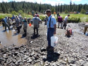
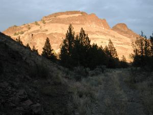
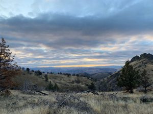
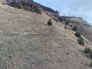
The Conservation Lands Program protects, manages, and restores fish and wildlife habitat for lands with conservation easements held by Bonneville Power Administration. These are lands in the John Day River and the Willamette River basins. These include Oxbow, Mainstem Forrest, Middle Fork Forrest, Dunstan, Pine Creek, Red Hills, Little Sweden, and Austin Hot Springs Conservation Areas.

More Info